Asia Antique Map 1817 – China Japan India Persia and Siberia
39,00 €
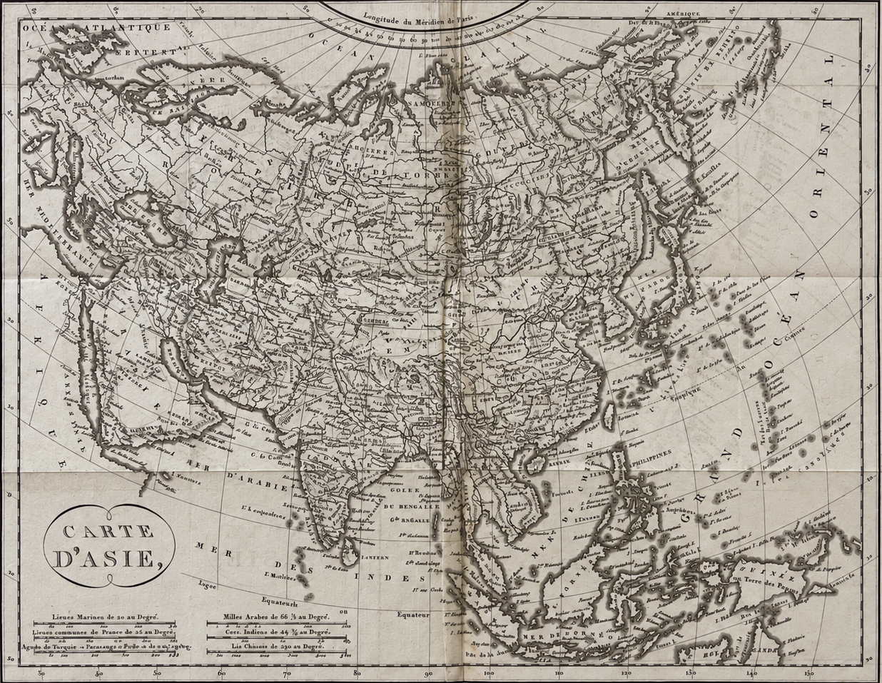
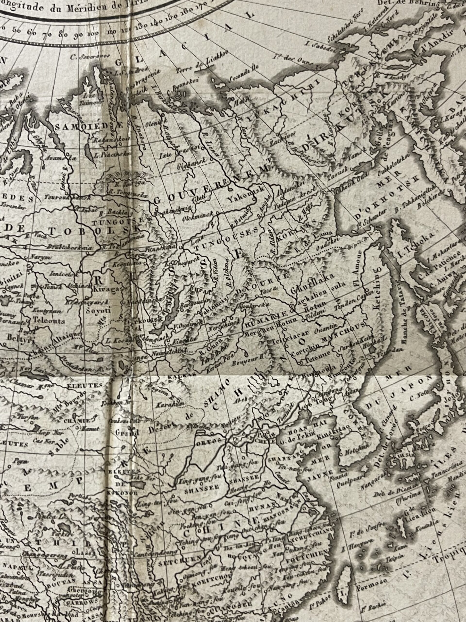
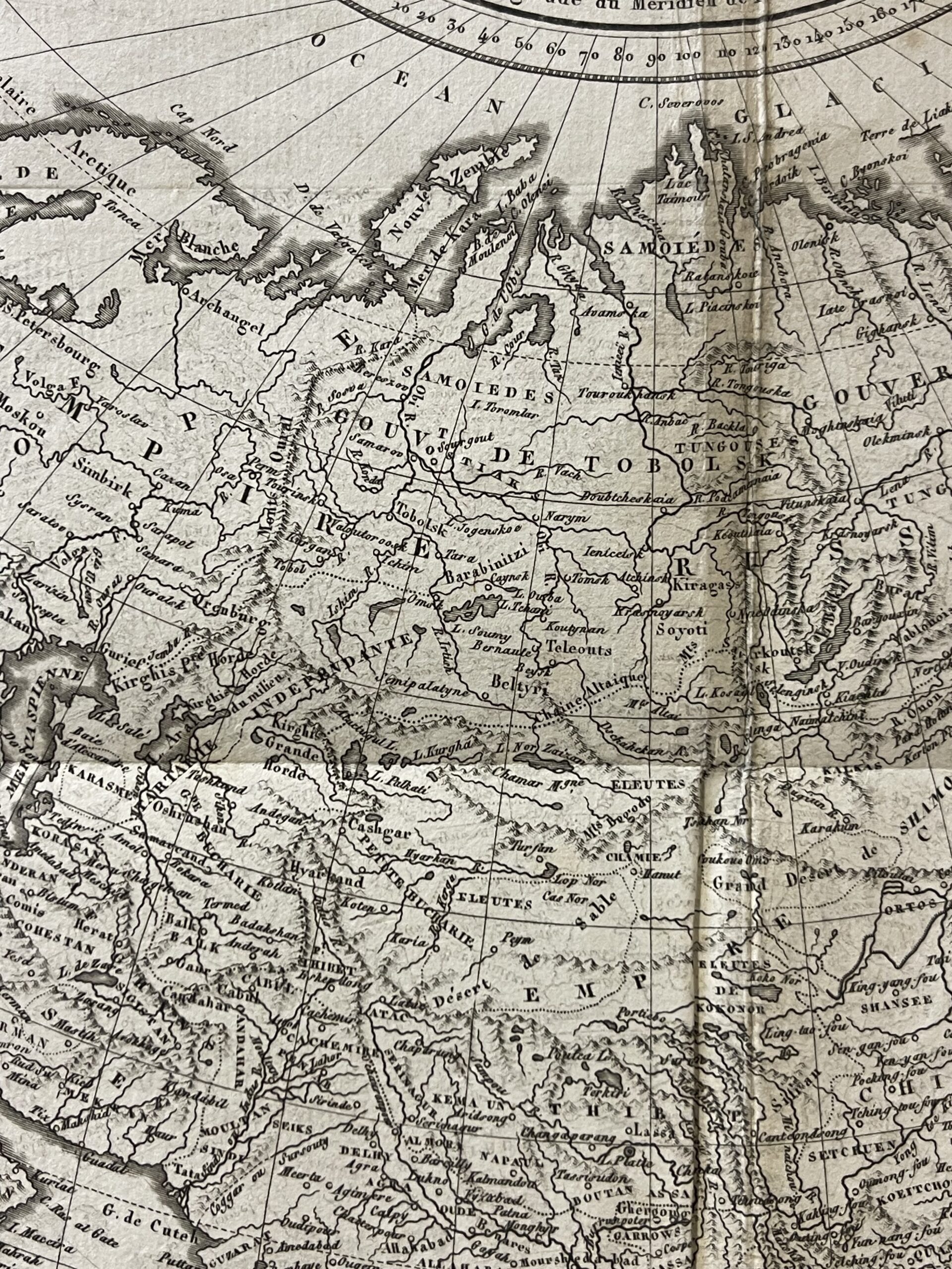
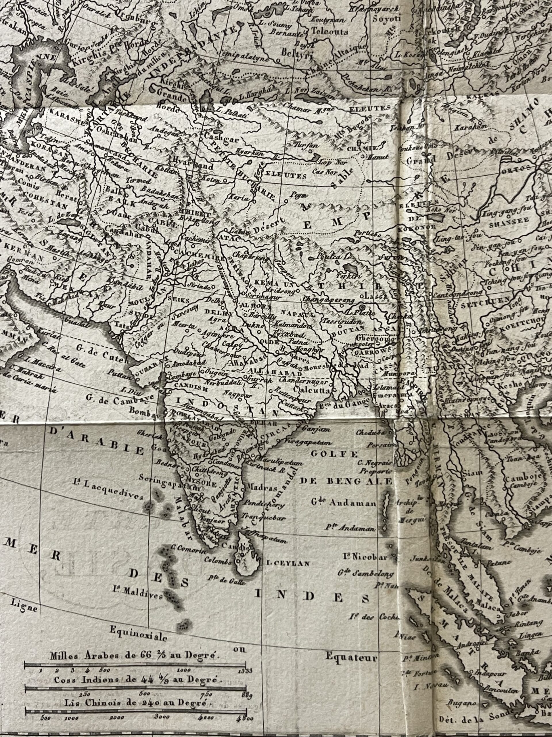
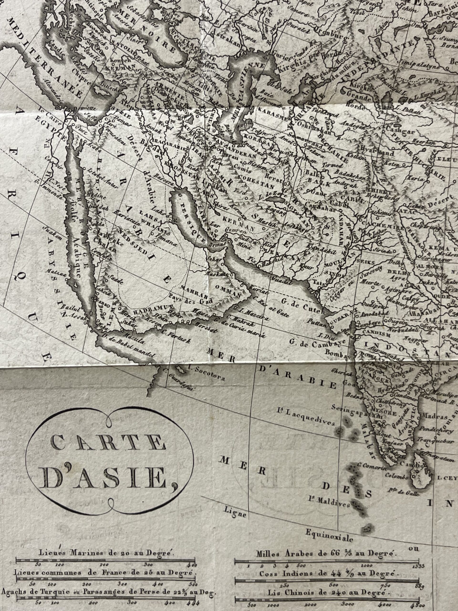
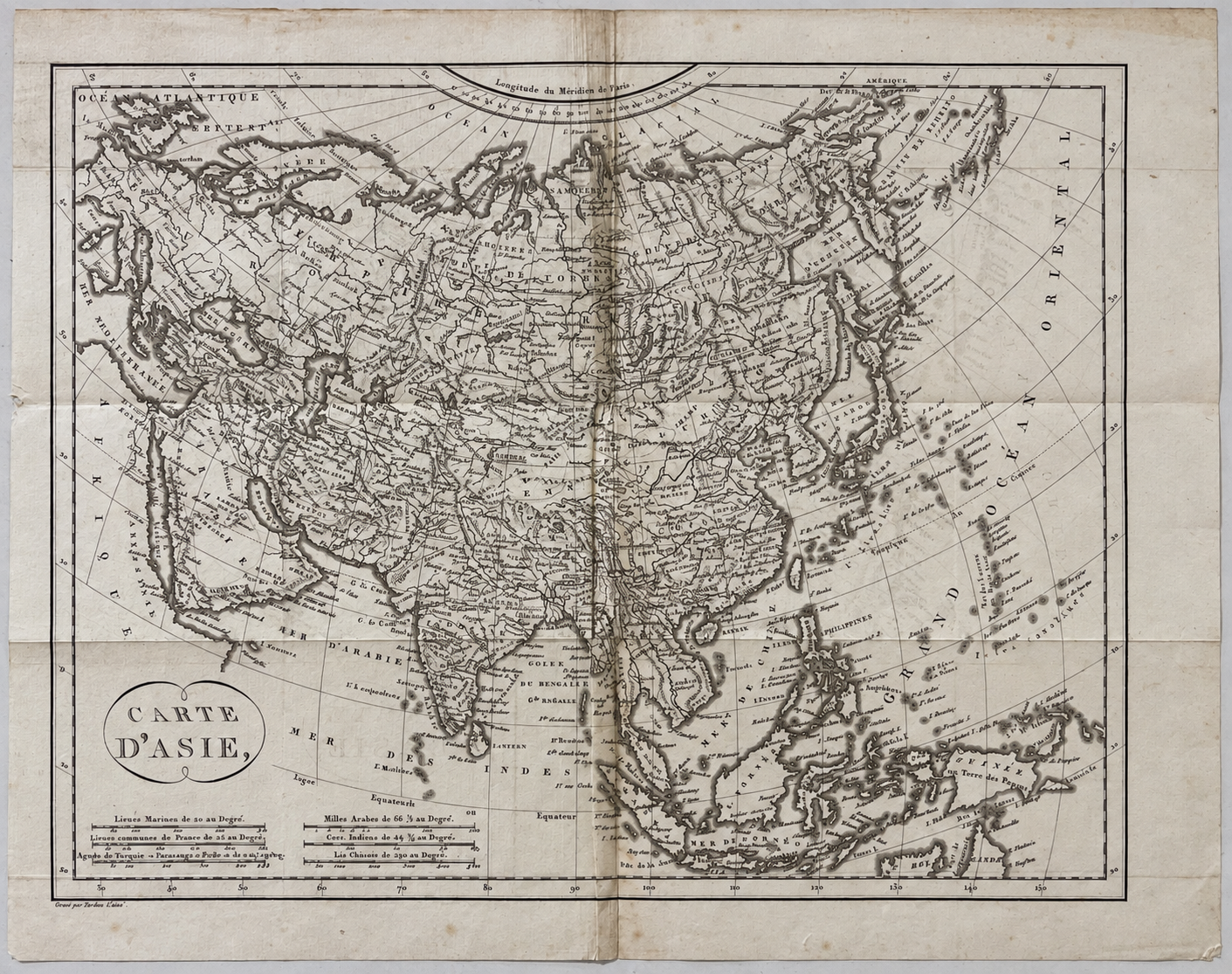
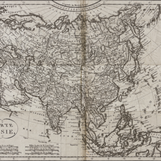
Asia antique map published in 1817 after an eighteenth-century edition. French-language “Carte d’Asie” depicting China Japan India Persia Siberia and Southeast Asia. Sheet: 30.5 × 24.2 cm. Engraved image: 27 × 21.3 cm. Visible folds with browning and scattered age-related marks.
Description
Asia antique map published in 1817, reproducing an eighteenth-century edition. Entitled “Carte d’Asie,” this French-language engraving presents the continent from Arabia and Persia to China and Japan, extending southwards to the islands of Southeast Asia.
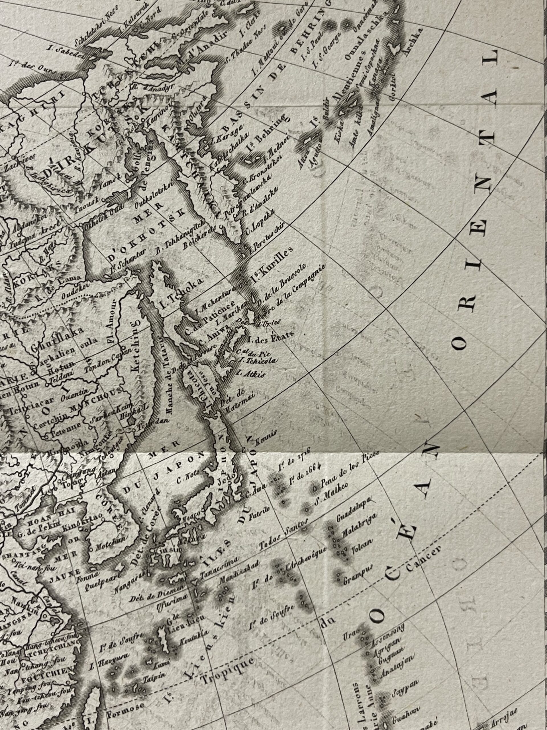
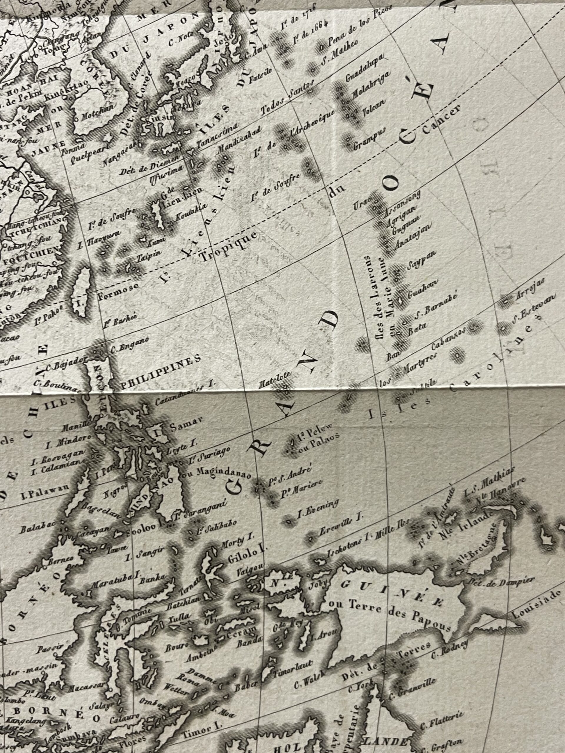
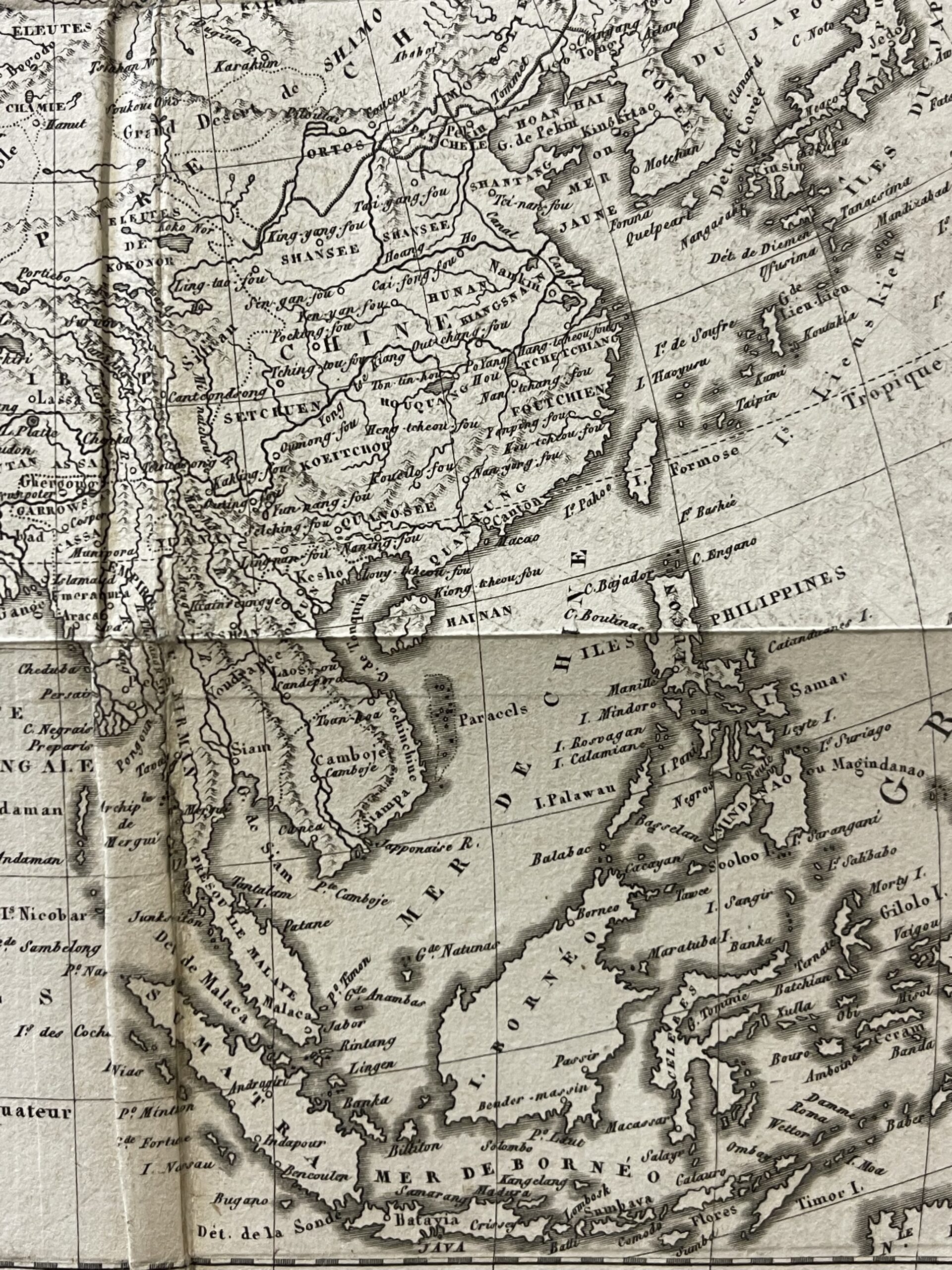
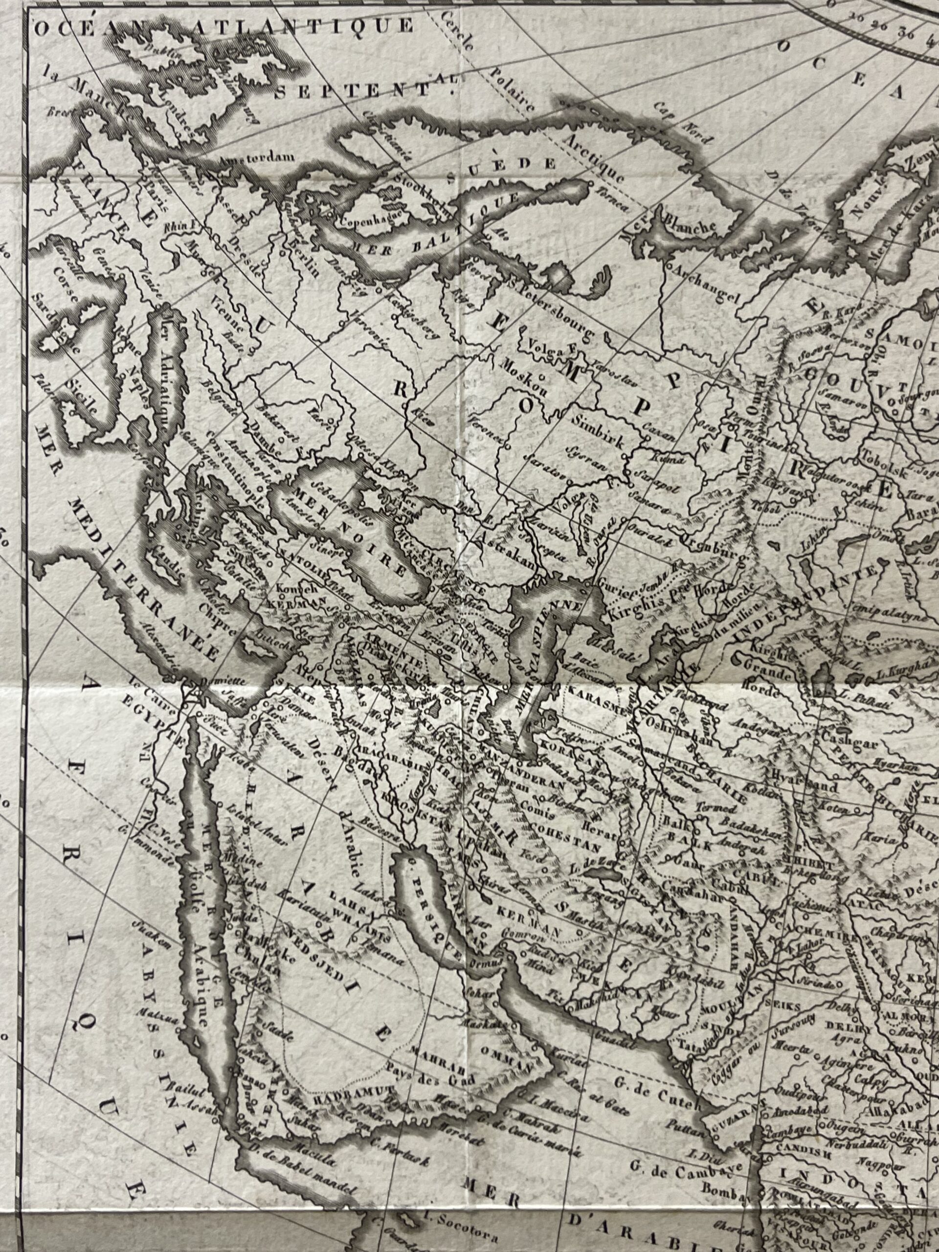
The map contains numerous geographical names, including historical regional designations such as Tartary. Rivers, settlements, coastlines and indications of relief form a detailed network across the continent. India, China and Japan appear alongside Siberia, Central Asia, the Arabian Peninsula and the Southeast Asian archipelagos. This broad geographical coverage makes the sheet interesting both as a continental map and as a source of historical place names.
The composition features a curved geographical grid, with longitudes referenced to the Paris meridian. The title is enclosed within a simple oval cartouche in the lower-left corner. Several distance scales are arranged beneath it, allowing the reader to compare the different units indicated on the map.
The coastlines are emphasised with dark shading, while smaller lettering identifies inland regions and settlements. The contrast between the densely labelled land areas and the more open expanses of ocean gives the map a distinctive visual character. Its monochrome presentation preserves the clarity of the engraved detail.
This is an 1817 publication based on an earlier eighteenth-century edition. The historical names and geographical conventions should therefore be understood in the context of that earlier cartographic tradition. The sheet offers an appealing subject for collectors of antique maps of Asia, French cartography and historical geography.
The complete sheet measures 30.5 × 24.2 cm. The engraved map alone measures 27 × 21.3 cm.
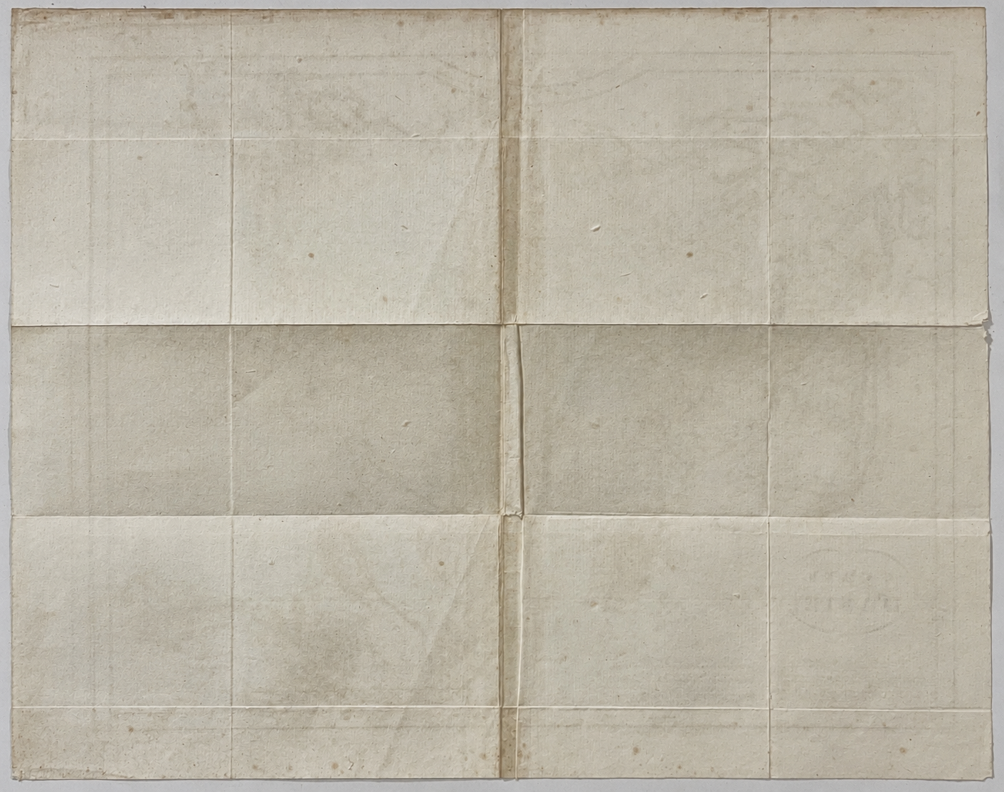
Condition: visible vertical and horizontal folds, with pronounced browning along the central vertical fold. The paper shows age-related toning, scattered foxing and staining, particularly towards the upper edge. Small edge tears and irregularities are visible, including at the left end of a horizontal fold. The map remains readable, with its title and border retained. Please examine the photograph carefully to assess the condition of this particular sheet.

Avis
Il n’y a pas encore d’avis.