Description
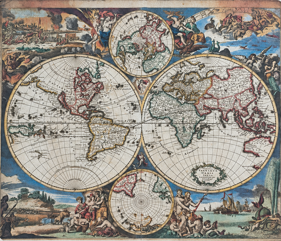
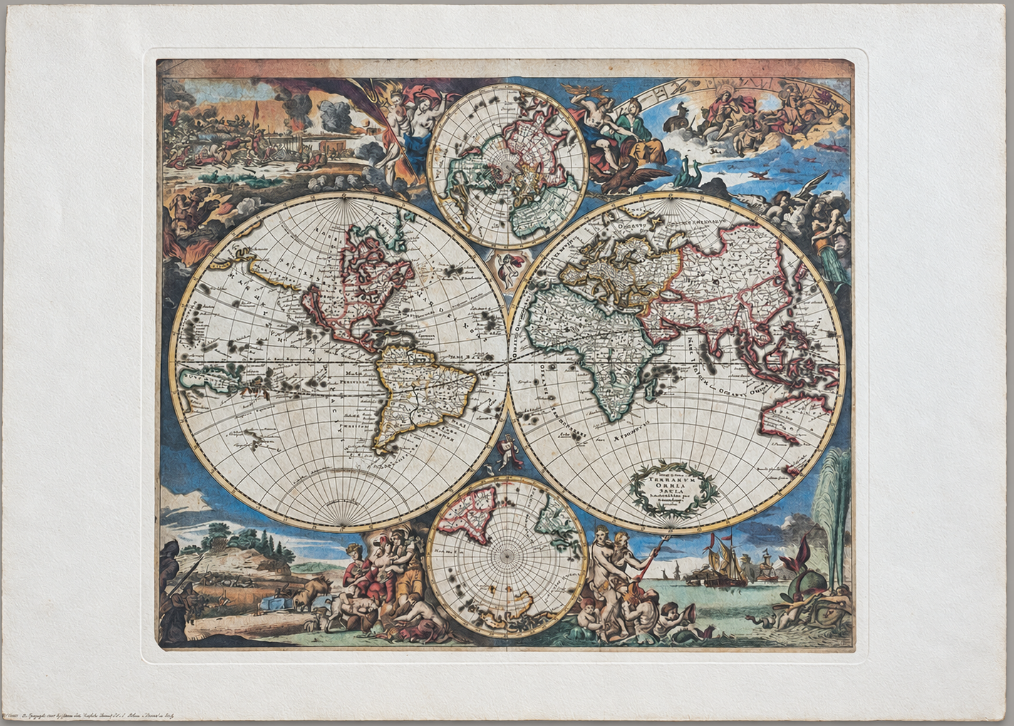
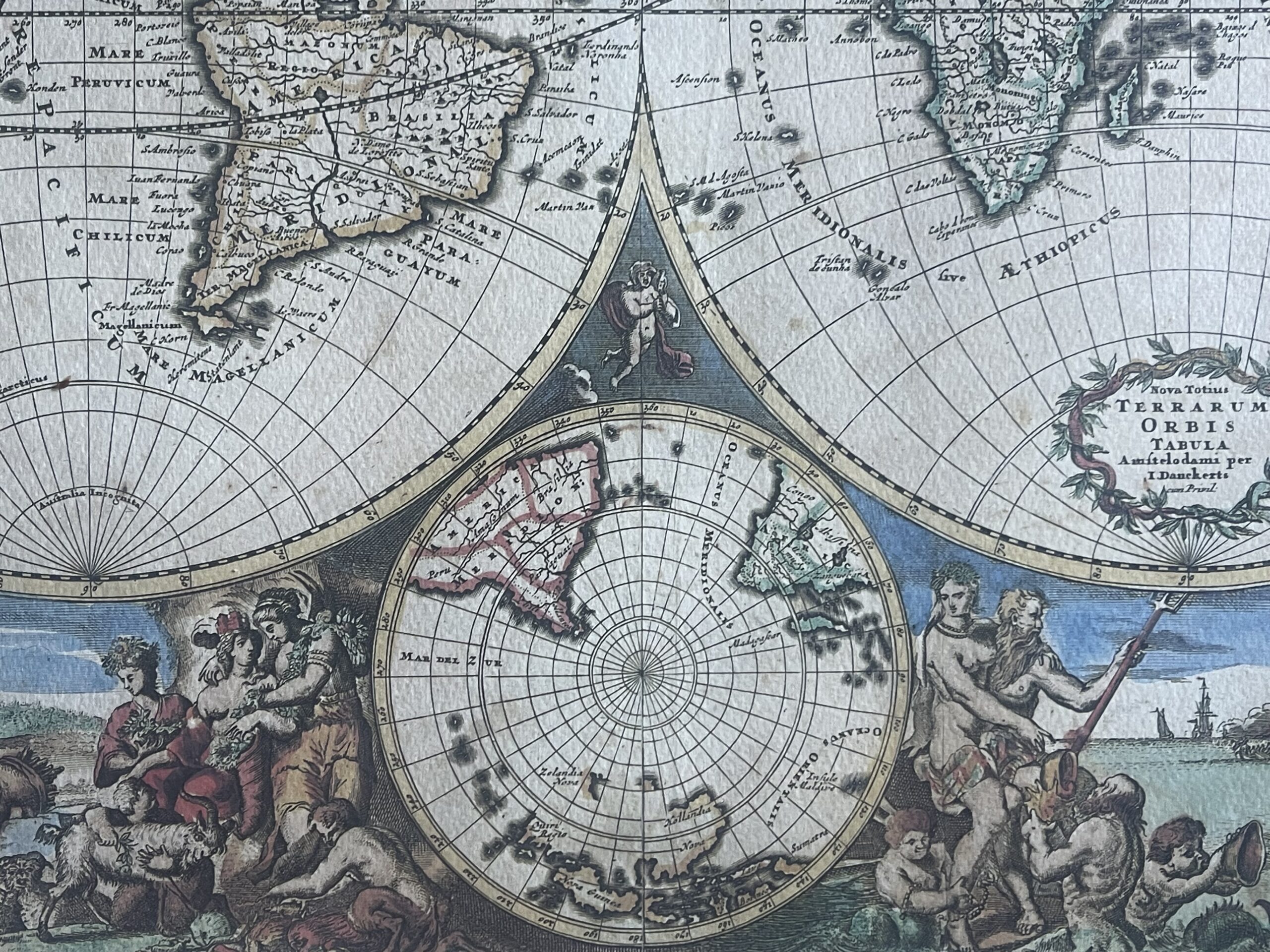
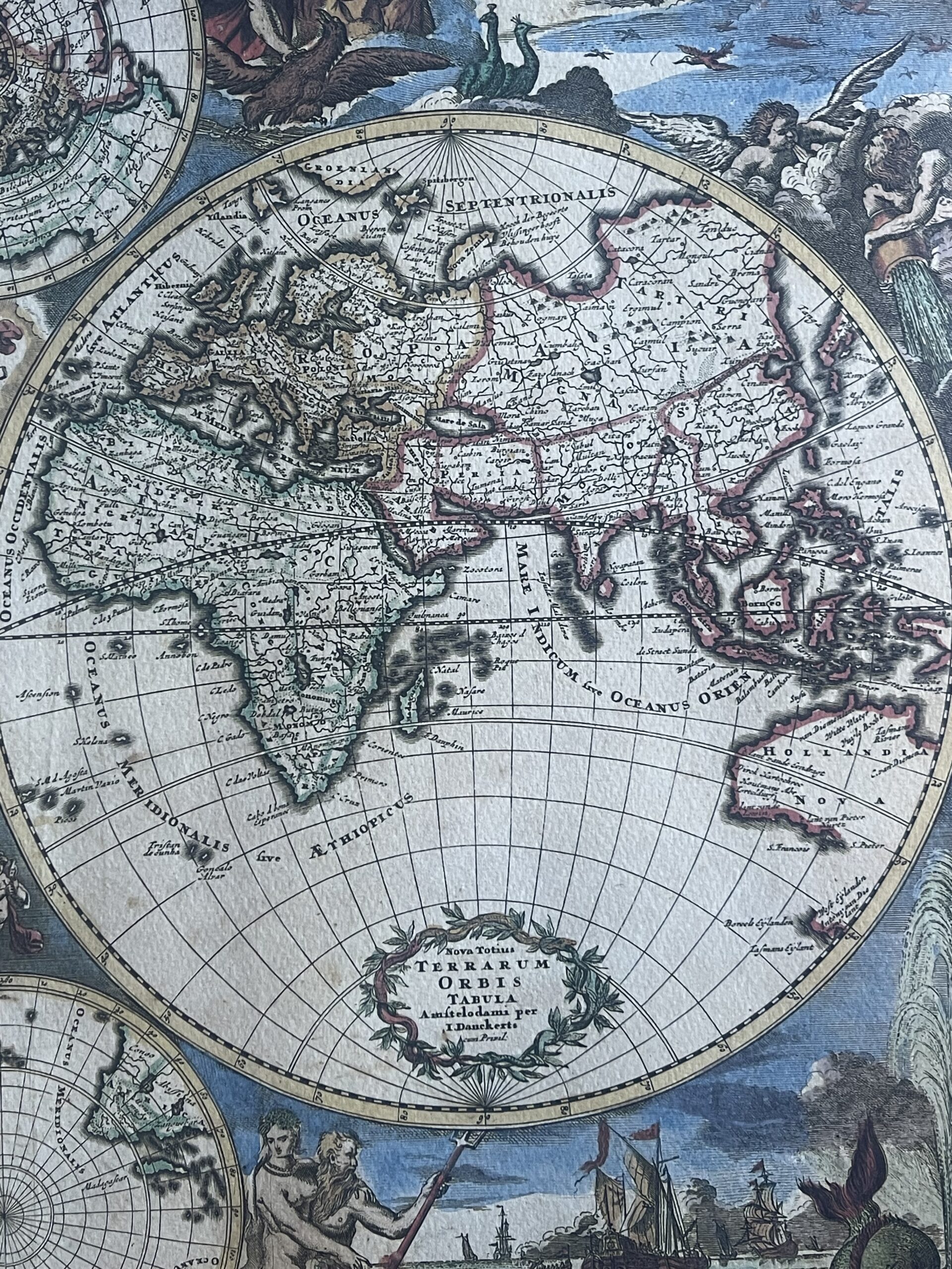
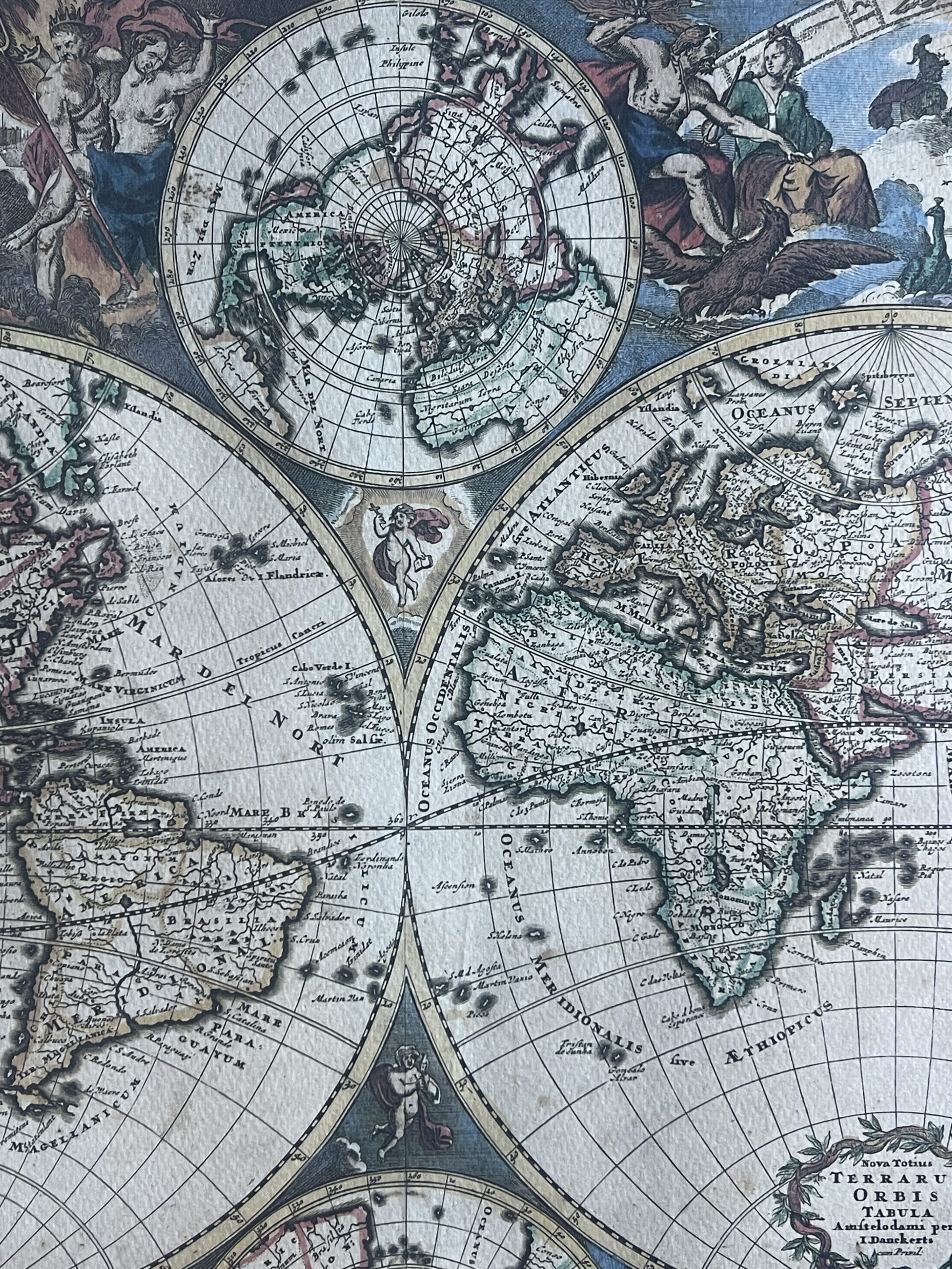
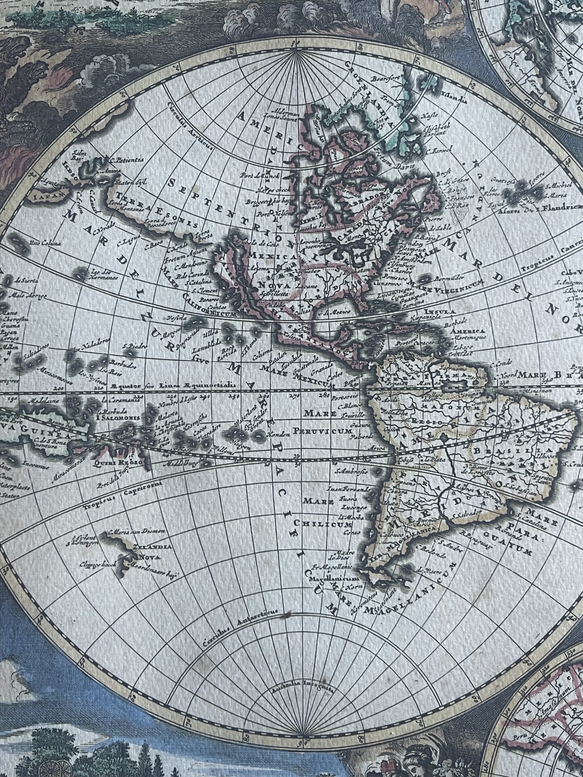
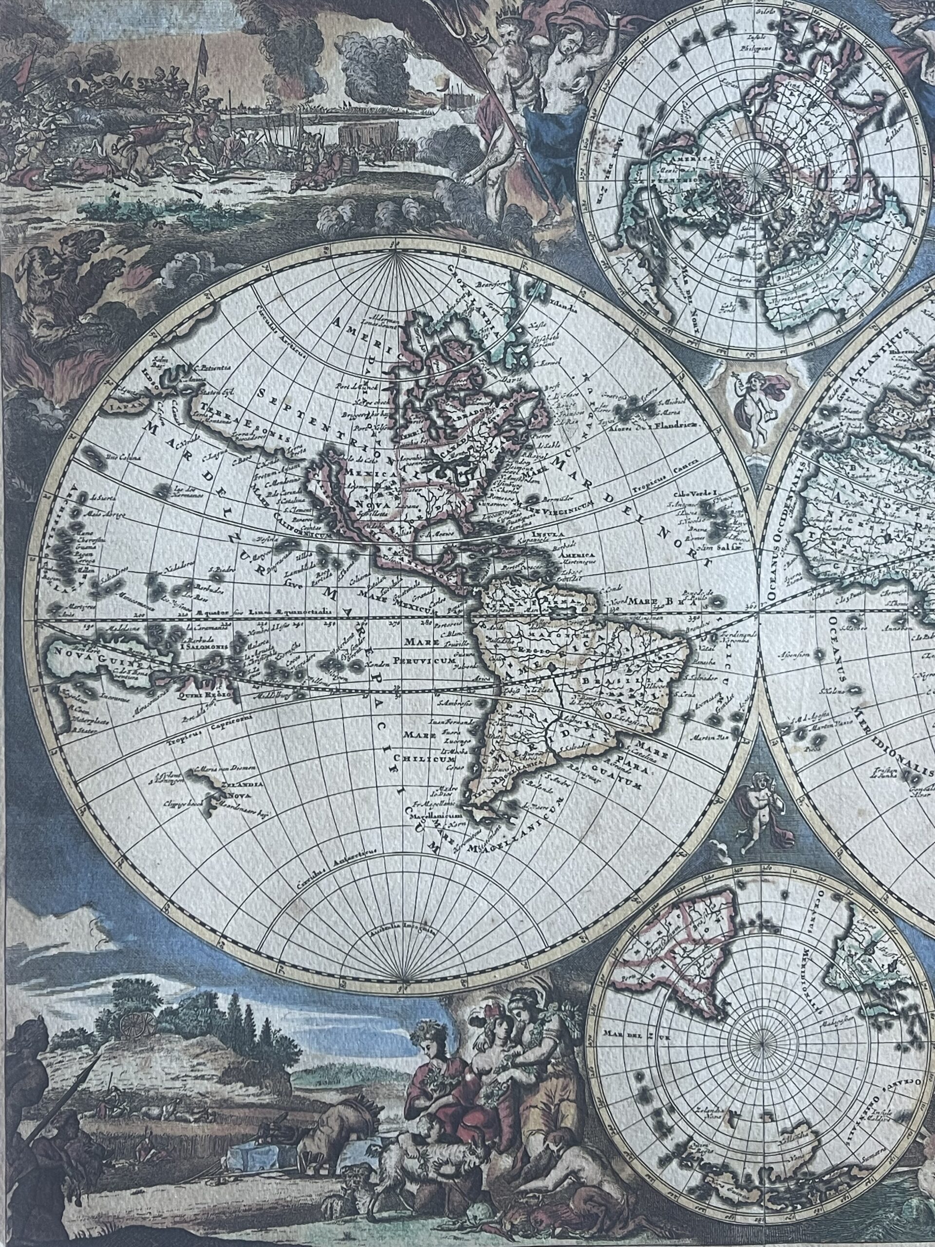
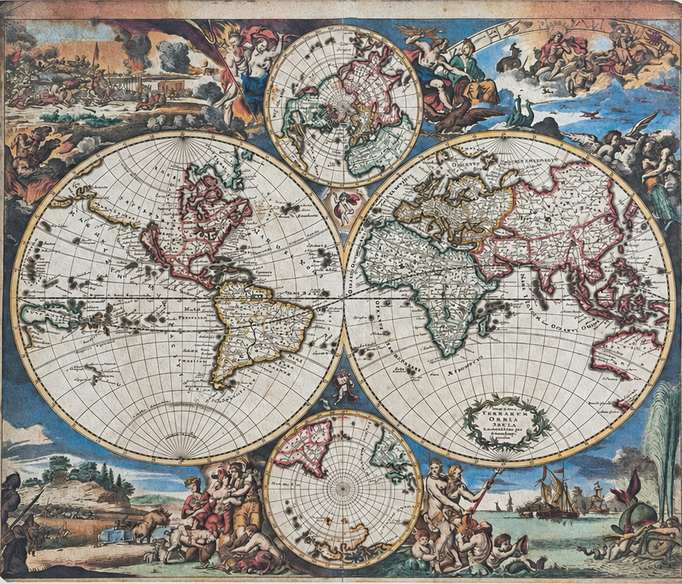
This Danckerts world map reproduction presents Nova Totius Terrarum Orbis Tabula, a decorative world map arranged in two hemispheres. The publisher’s line identifies Ricordi, Milan, bears a 1989 copyright, and states “Printed in Italy.”
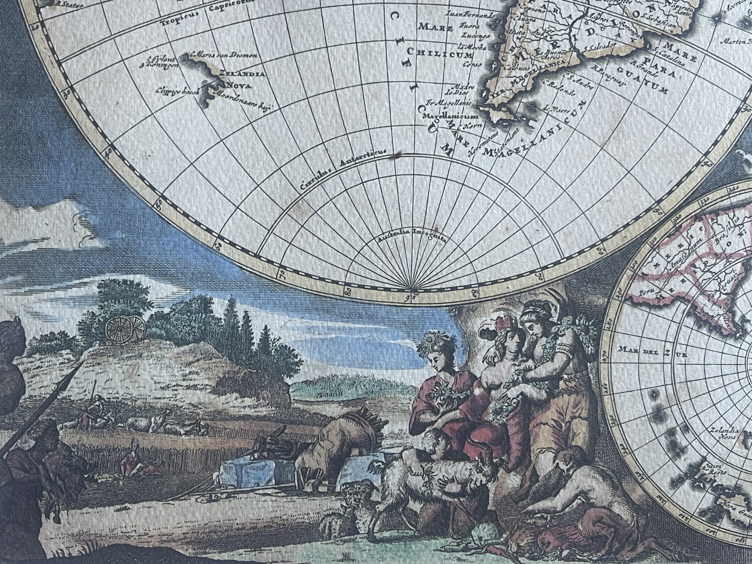
The composition combines two large hemispheres with smaller polar maps above and below. Elaborate allegorical scenes surround the geographical image, featuring figures, animals, agricultural activities and maritime subjects. Contrasting colours distinguish the land masses and enhance the rich decorative design.
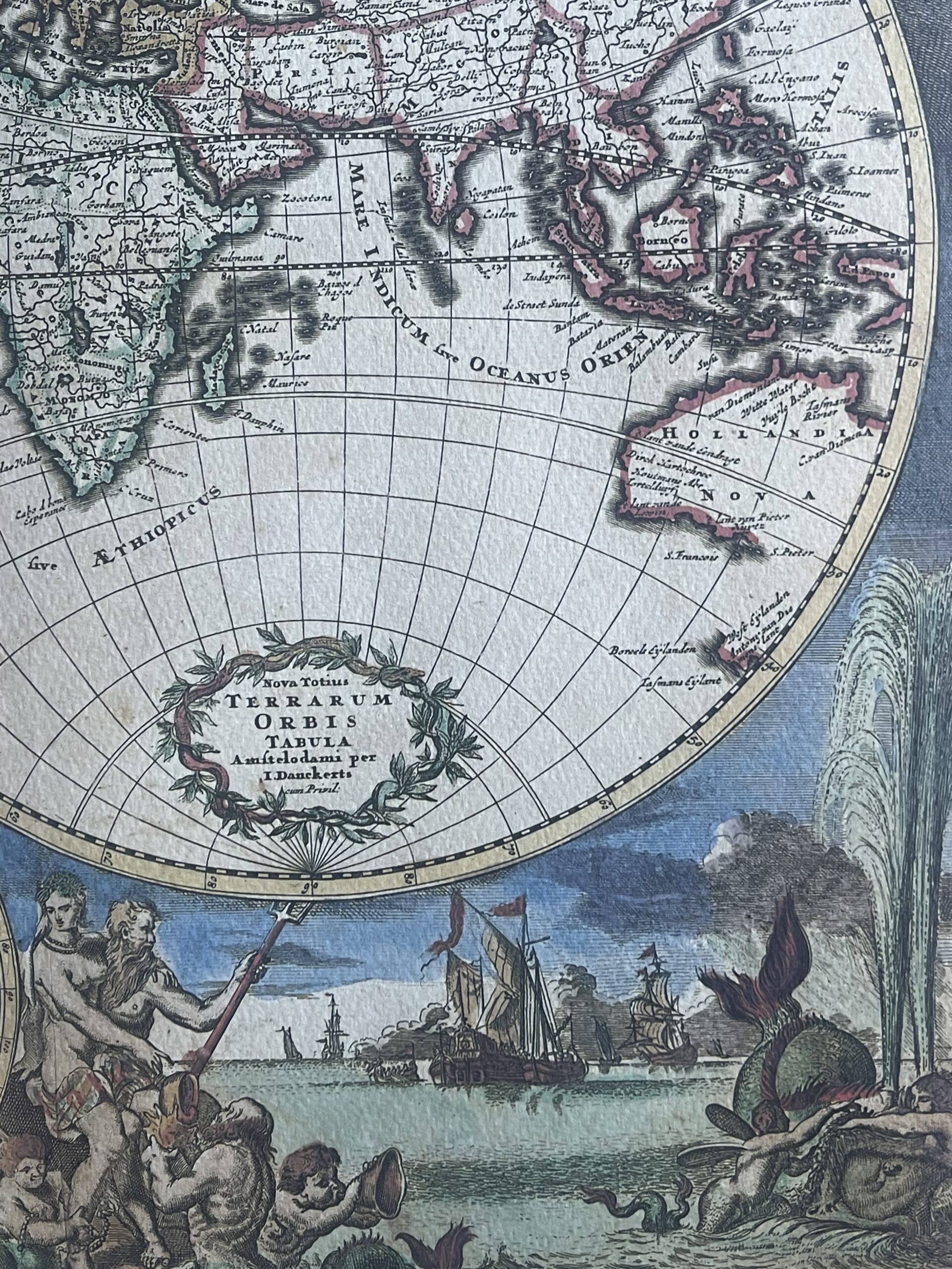
The Latin title appears within an ornamental cartouche, together with the inscription “Amstelodami per I. Danckerts.” The print retains the visual character of Dutch seventeenth-century cartography and would make an attractive addition to a study, library or travel-inspired interior.
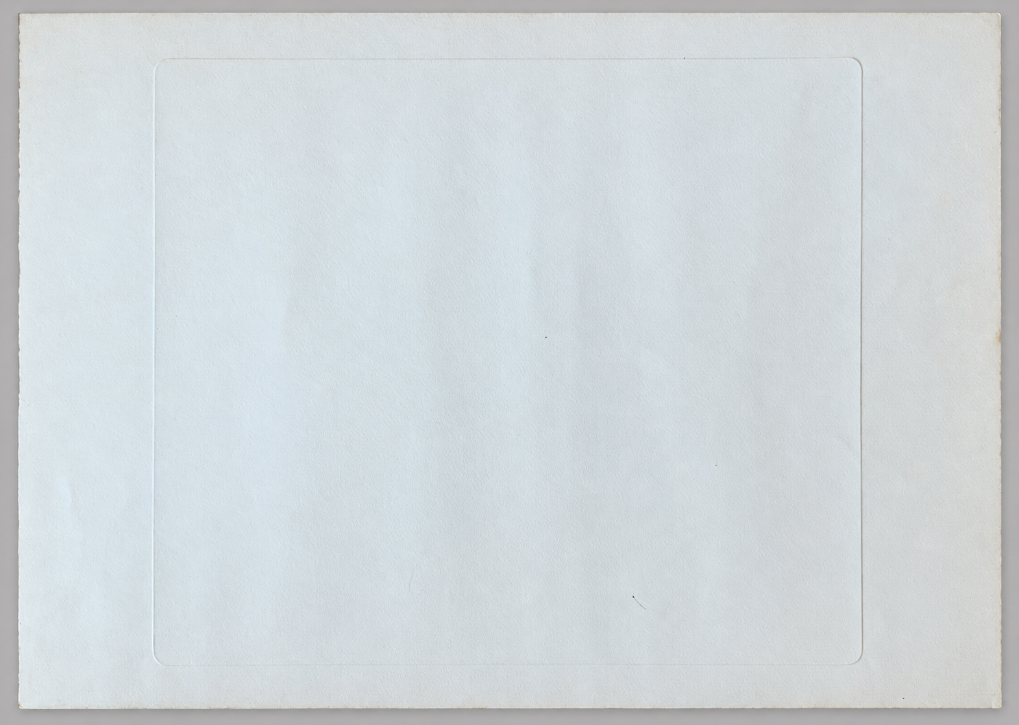
Printed on visibly textured paper, the sheet has generous margins and an impressed border surrounding the composition. This is a modern reproduction bearing a 1989 copyright, rather than an original seventeenth-century engraving.The exact printing process has not been established.
Dimensions
Full sheet: 70 × 50 cm.
Printed image: 48.3 × 41.5 cm.

Avis
Il n’y a pas encore d’avis.