Description
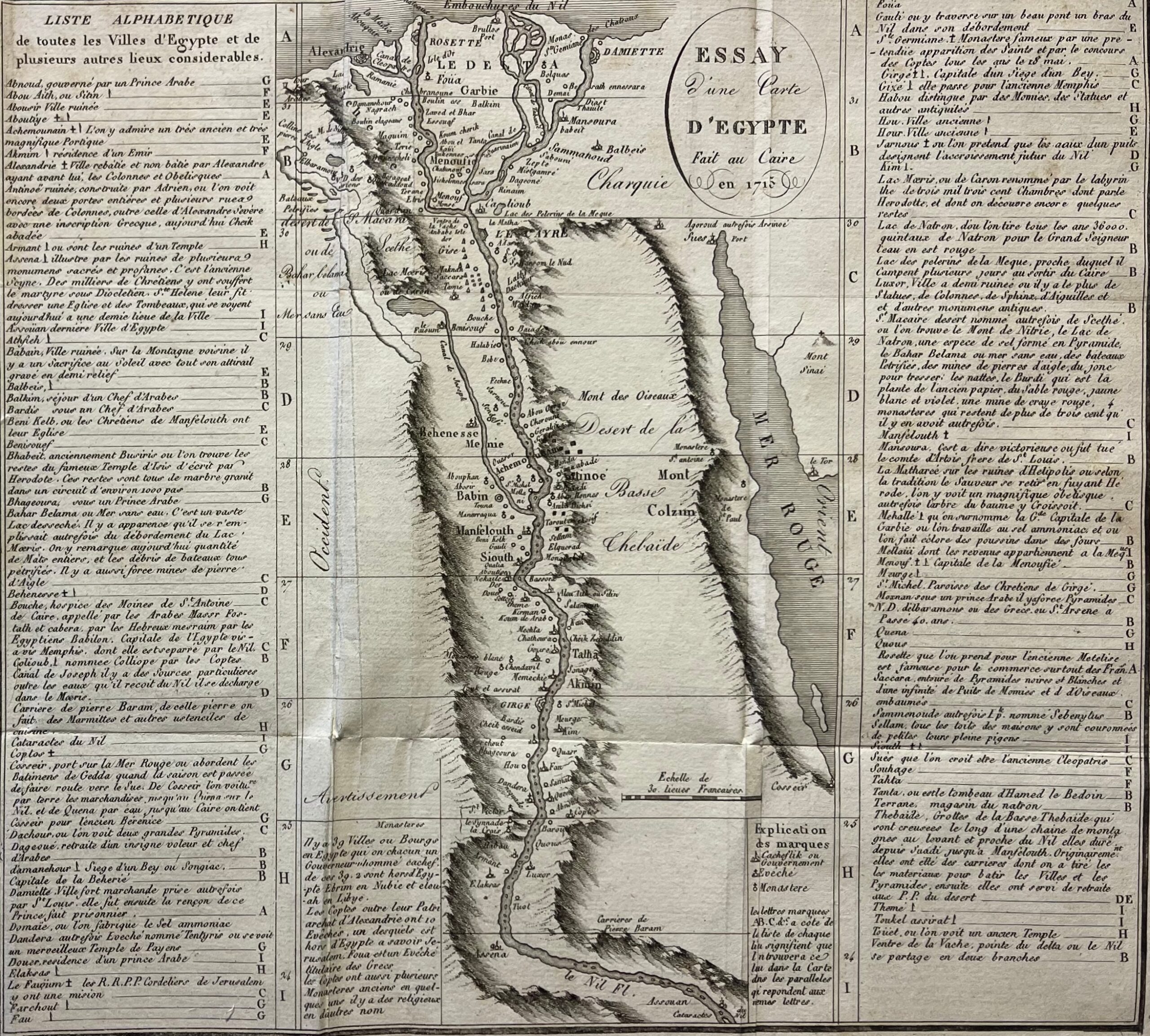
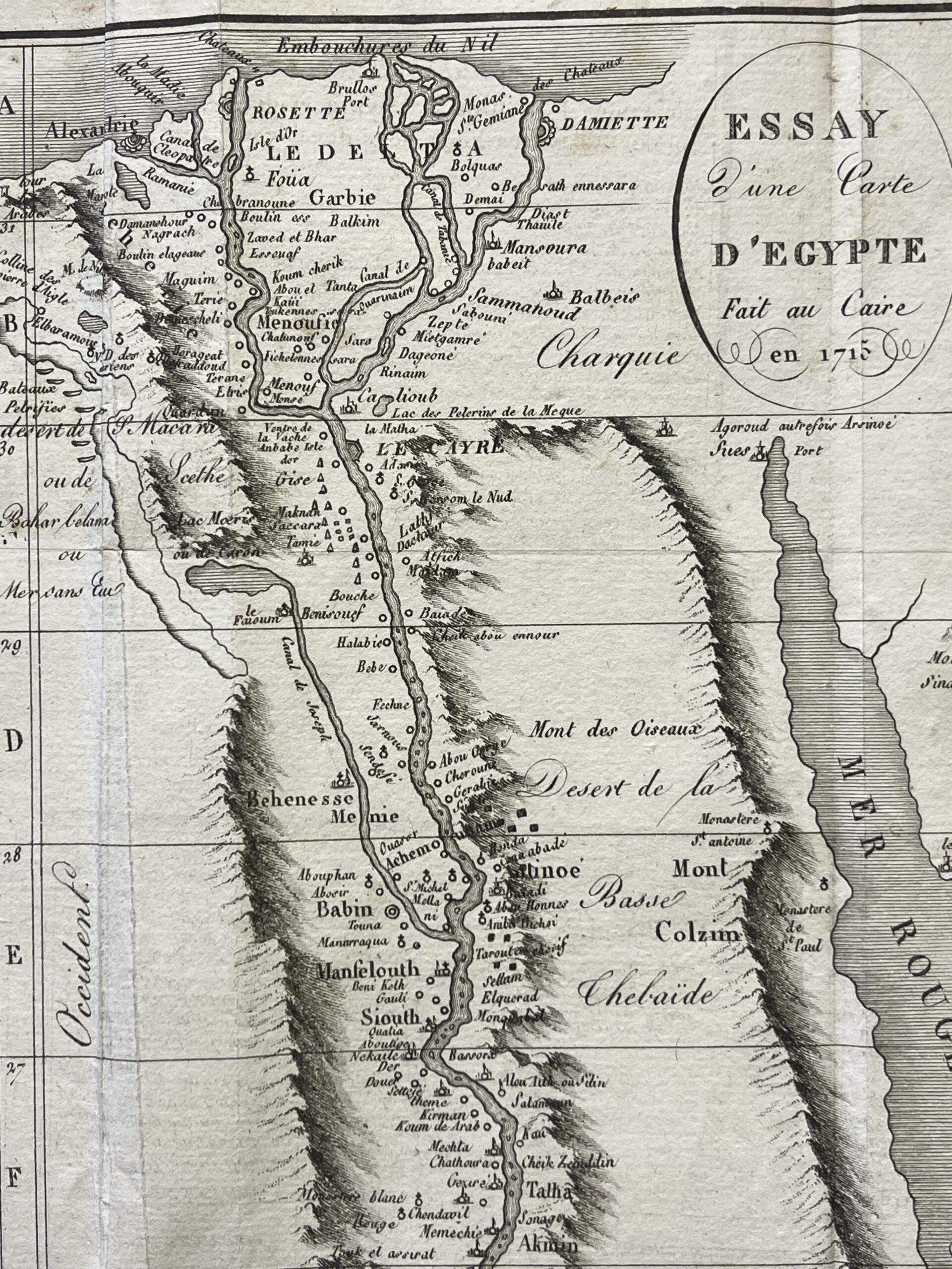
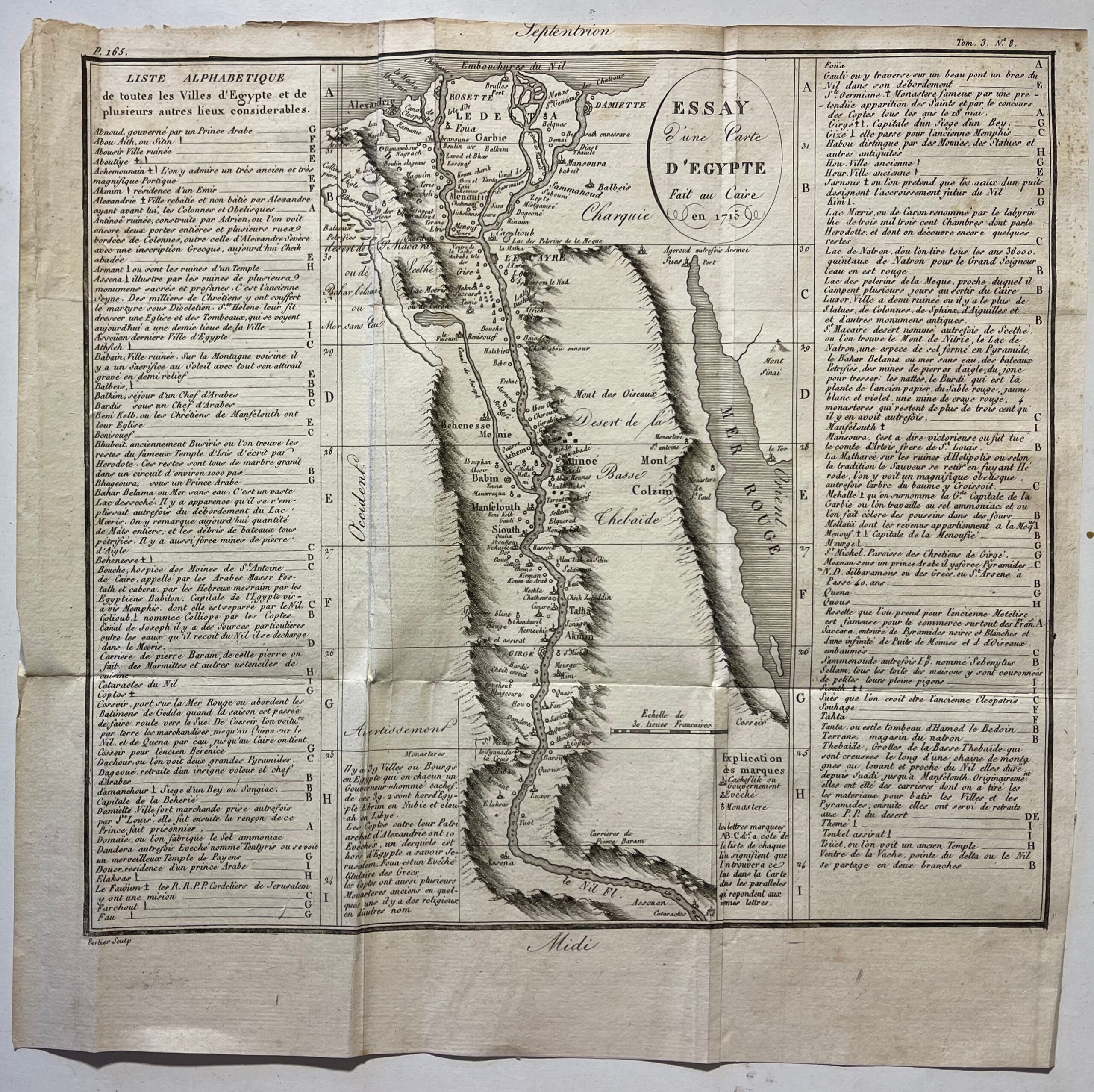
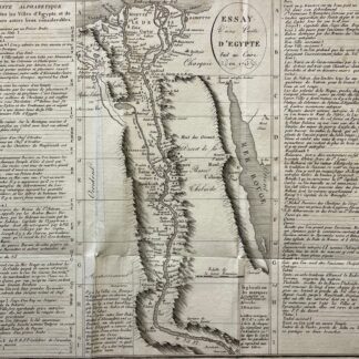
Egypt Nile Valley map published in an 1817 edition, reproducing a cartographic composition titled “Essay d’une Carte d’Égypte fait au Caire en 1715”. The date 1715 appears within the oval title cartouche, while this sheet belongs to the 1817 edition.
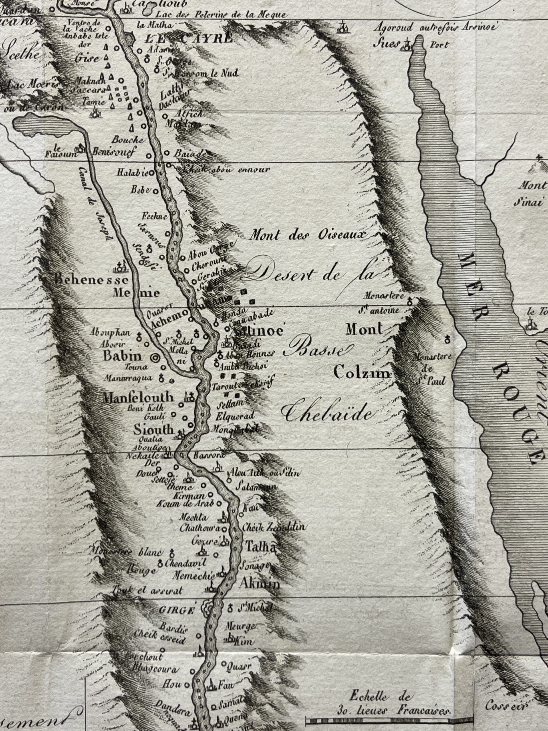
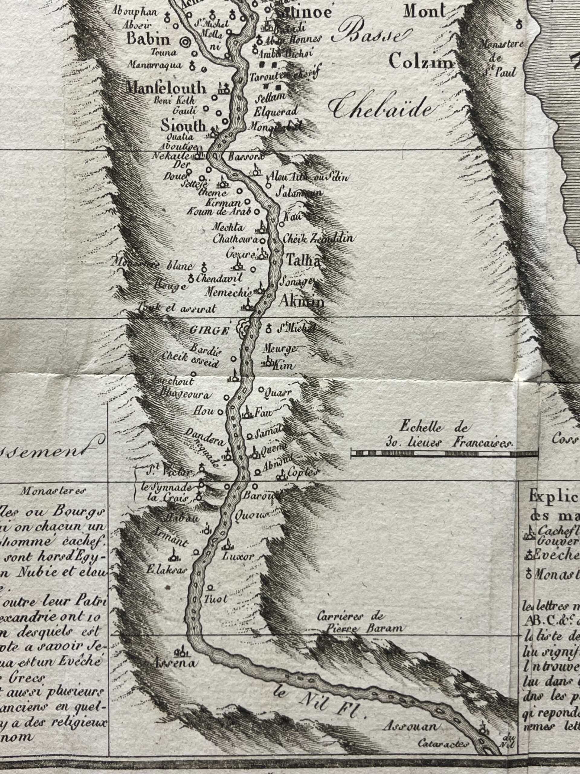
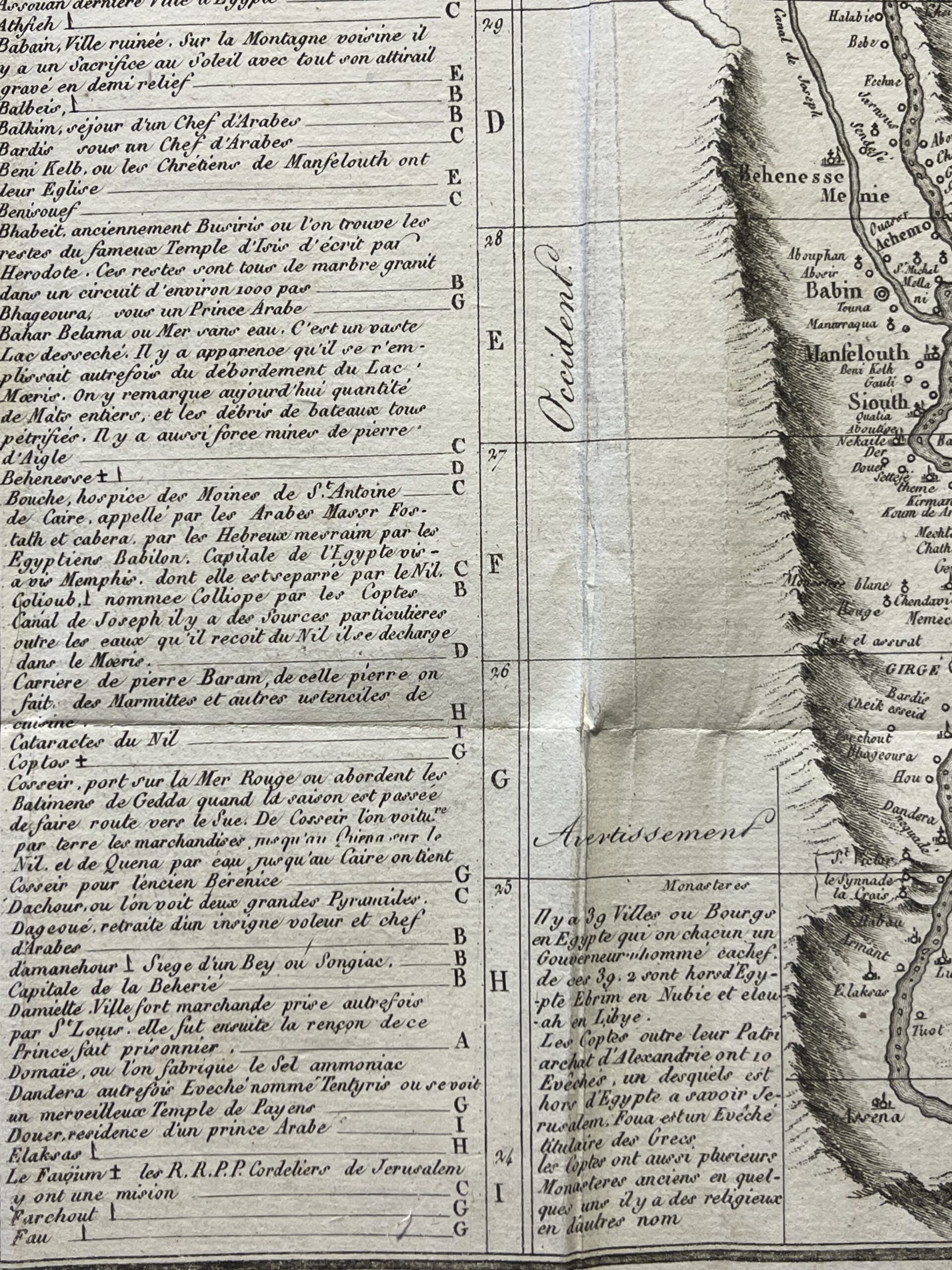
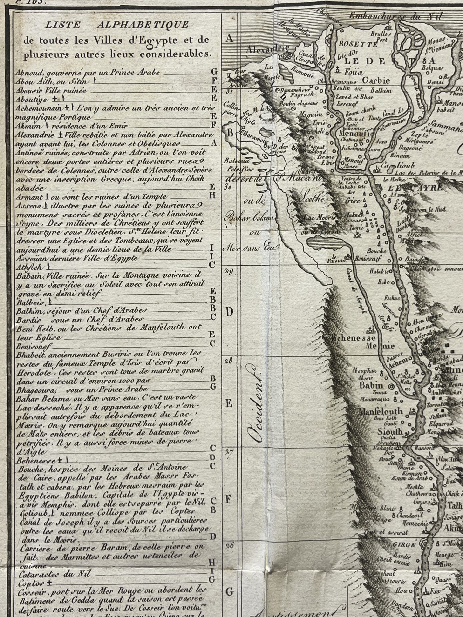
The central map follows the Nile from its Mediterranean mouths through the Egyptian interior to Aswan and the cataracts. Alexandria, Rosetta, Damietta and Cairo appear alongside numerous smaller settlements. The river’s branches, islands and adjoining waterways form the main structure of the composition.
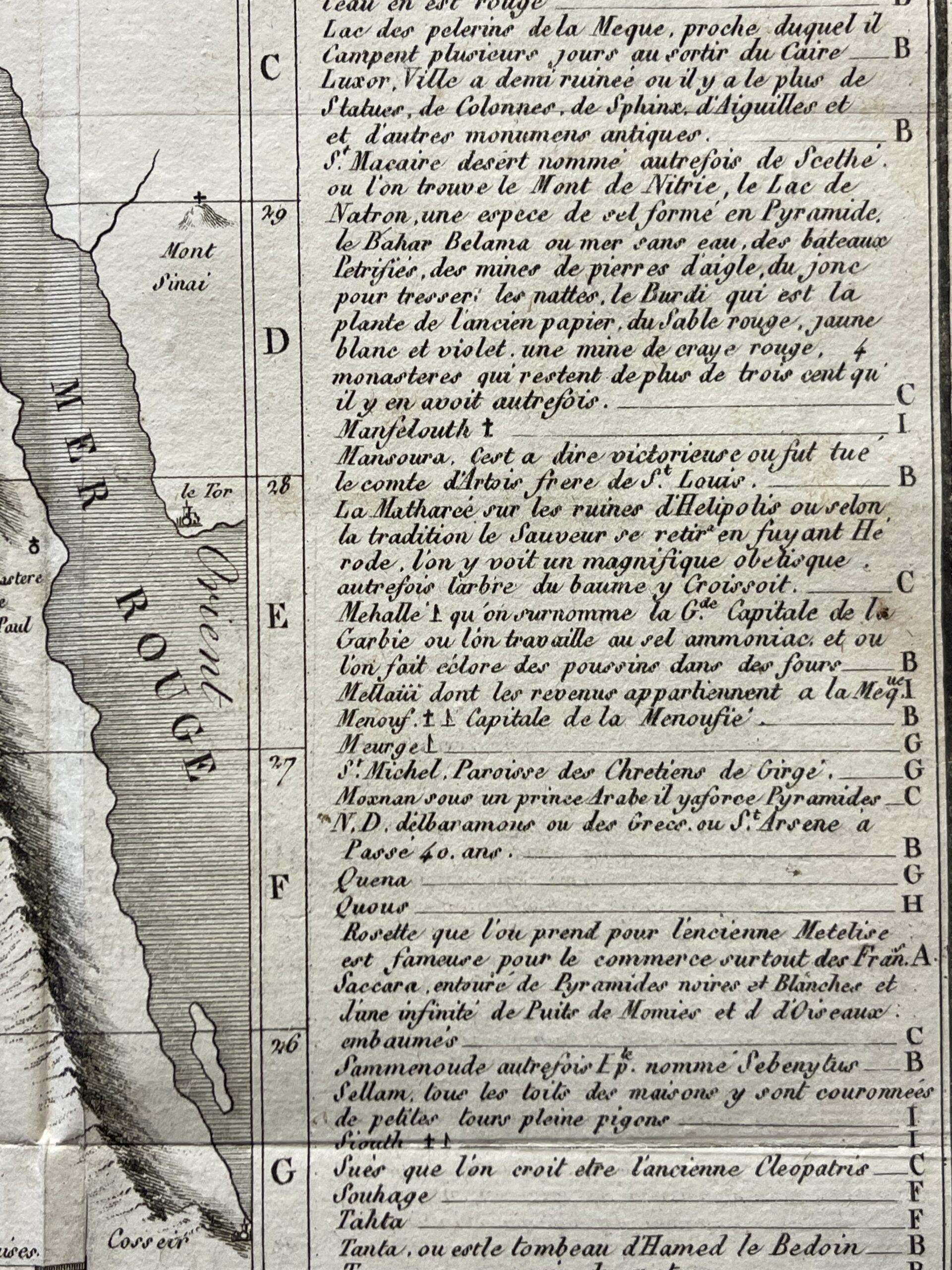
To the east, the map includes the Red Sea, Suez and Mount Sinai. Engraved mountain ranges border the Nile Valley and separate it from the surrounding desert regions. Historical place names and French geographical labels preserve the terminology of the earlier cartographic model.
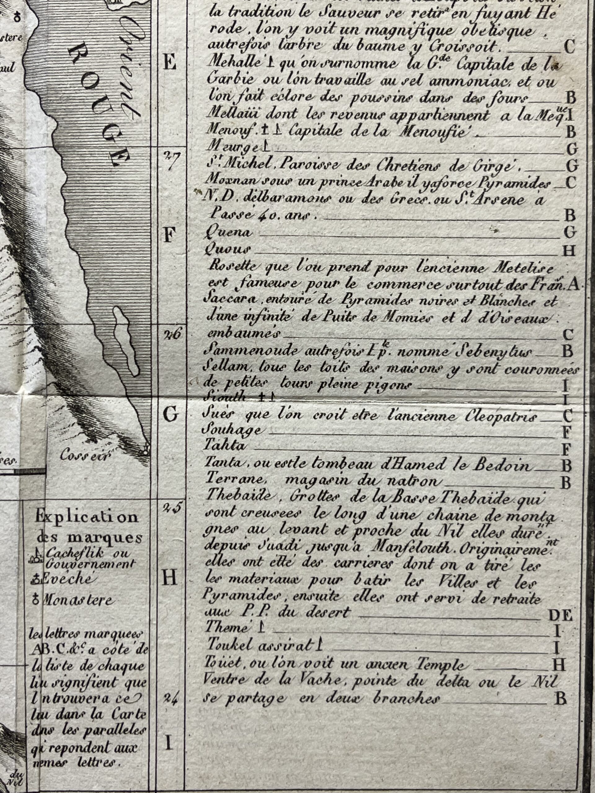
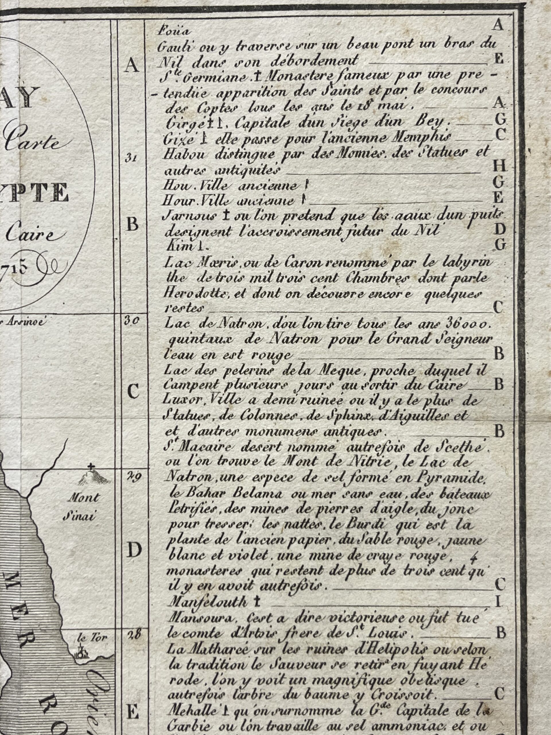
Two extensive alphabetical columns flank the map. These describe Egyptian towns and other noteworthy places, combining geographical information with observations on ancient monuments, religious establishments, trade and local traditions. Entries mention pyramids, ruins, columns, obelisks and monasteries. Places such as Alexandria, Luxor and Saqqara receive descriptive notes, making the sheet both a map and a compact historical gazetteer.
A lettered reference system links the side entries to horizontal sections of the map. A separate key explains the symbols used for administrative centres, bishoprics and monasteries. The engraved scale is expressed in French leagues.
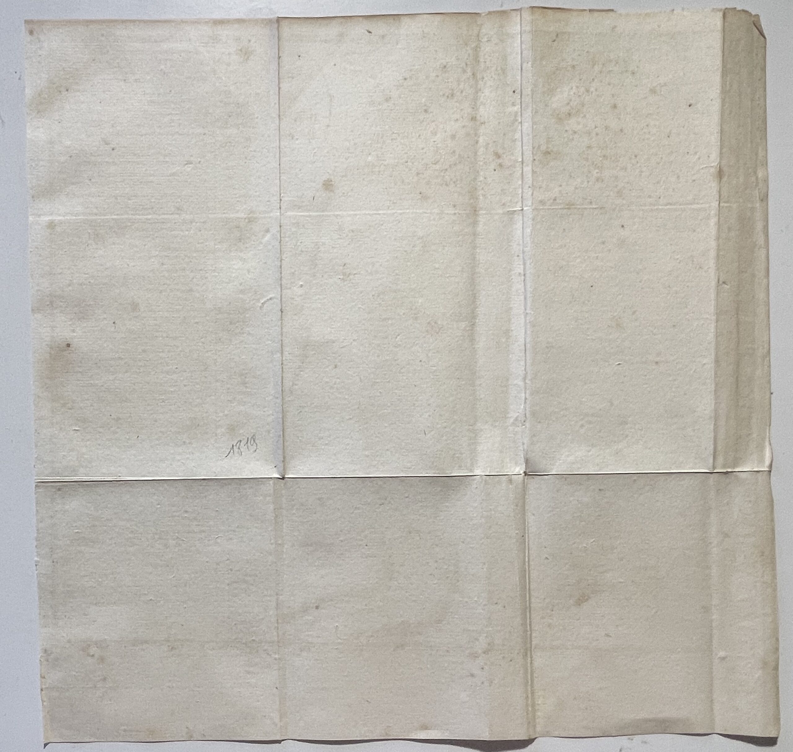
The plate bears the references “P. 165” at the upper left and “Tom. 3. N° 8” at the upper right. Printed in black without added colouring, it retains its folding format. The reverse is unprinted apart from a pencil annotation.
Dimensions and edition
Edition: 1817.
Date within the map title: 1715.
Sheet: 31 × 30 cm.
Engraved area: 25.4 × 28 cm.
Language: French.
Offered unframed.

Avis
Il n’y a pas encore d’avis.