Description
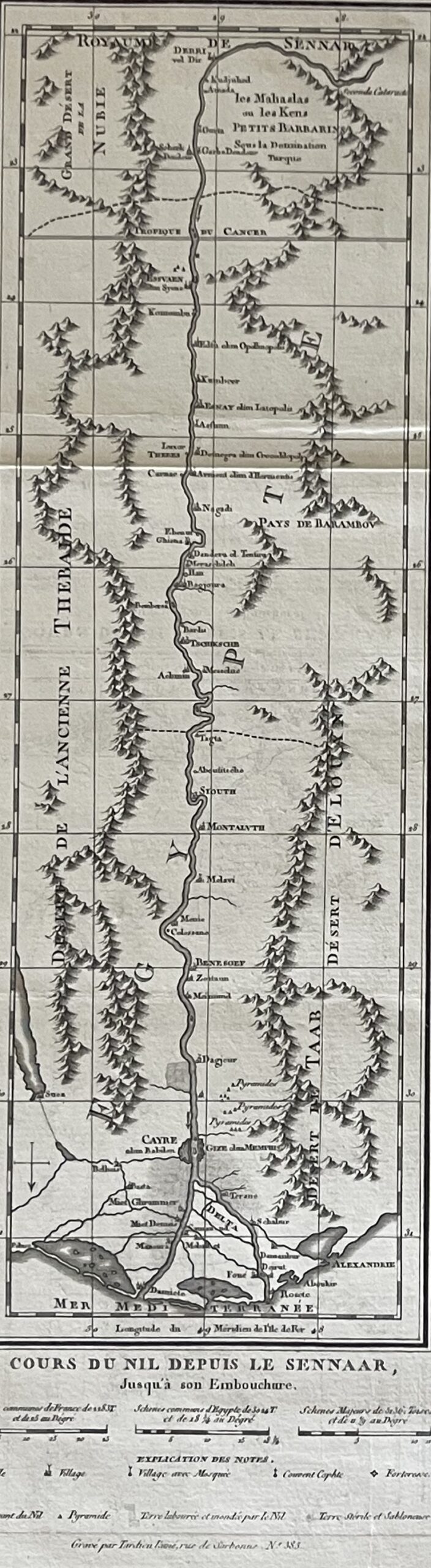
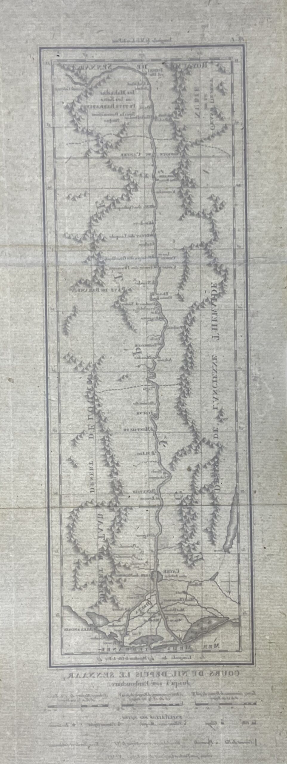
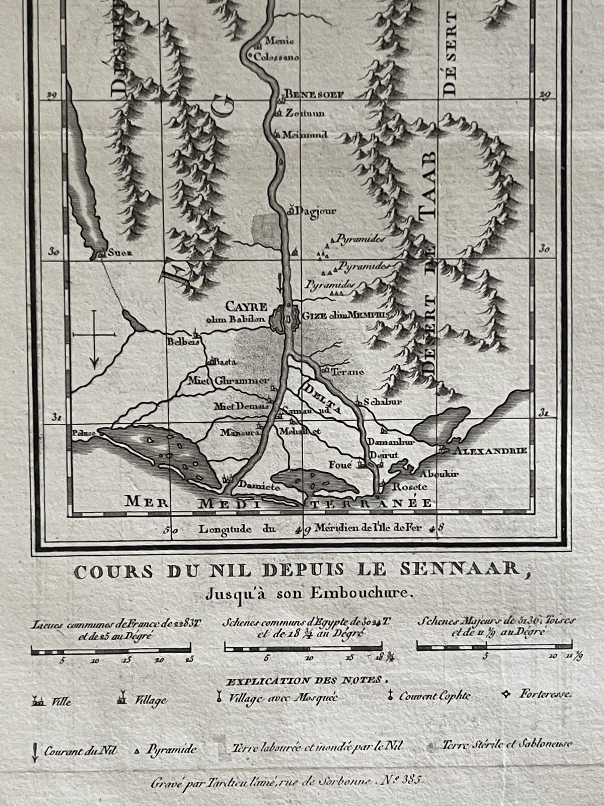
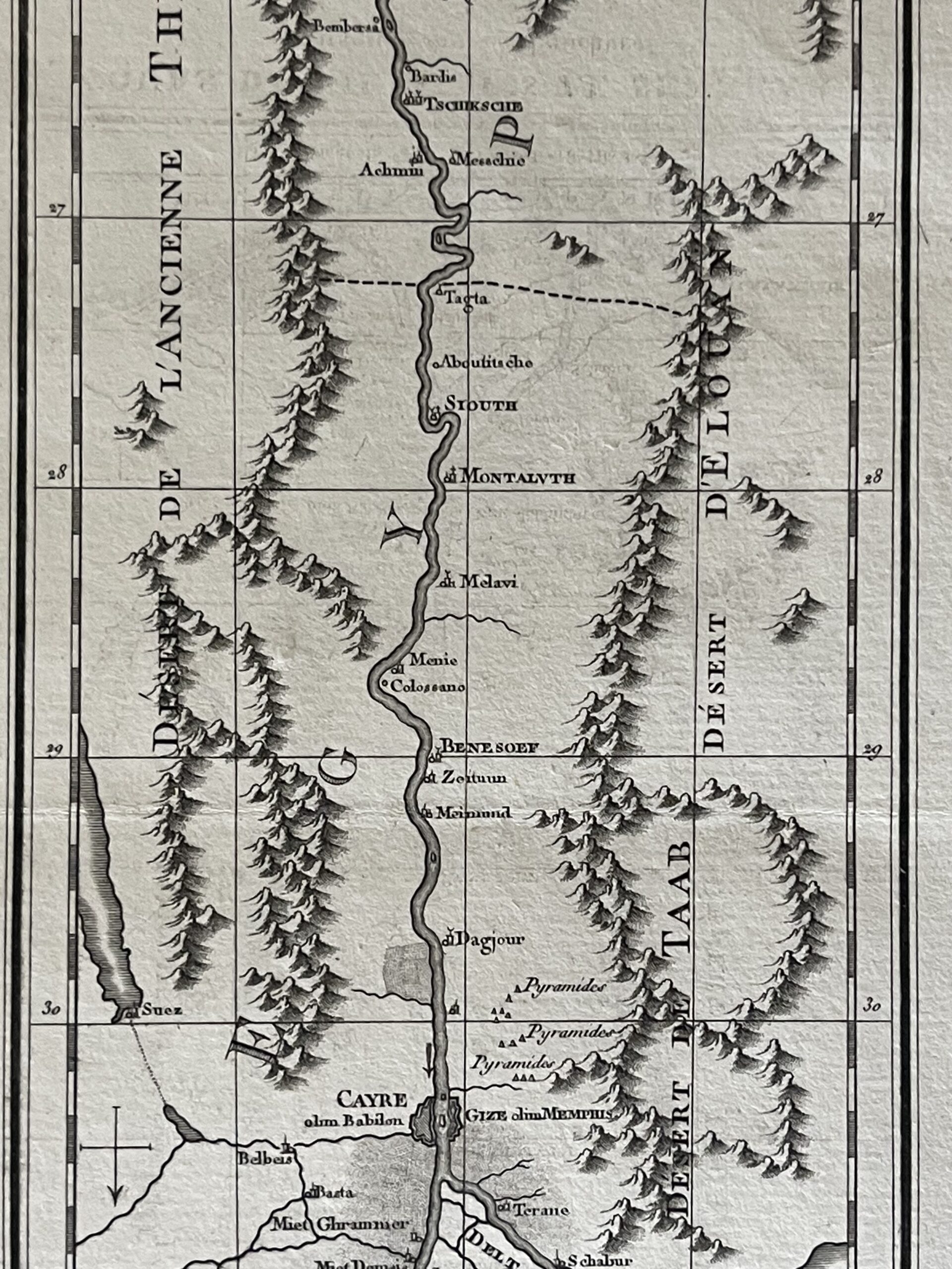
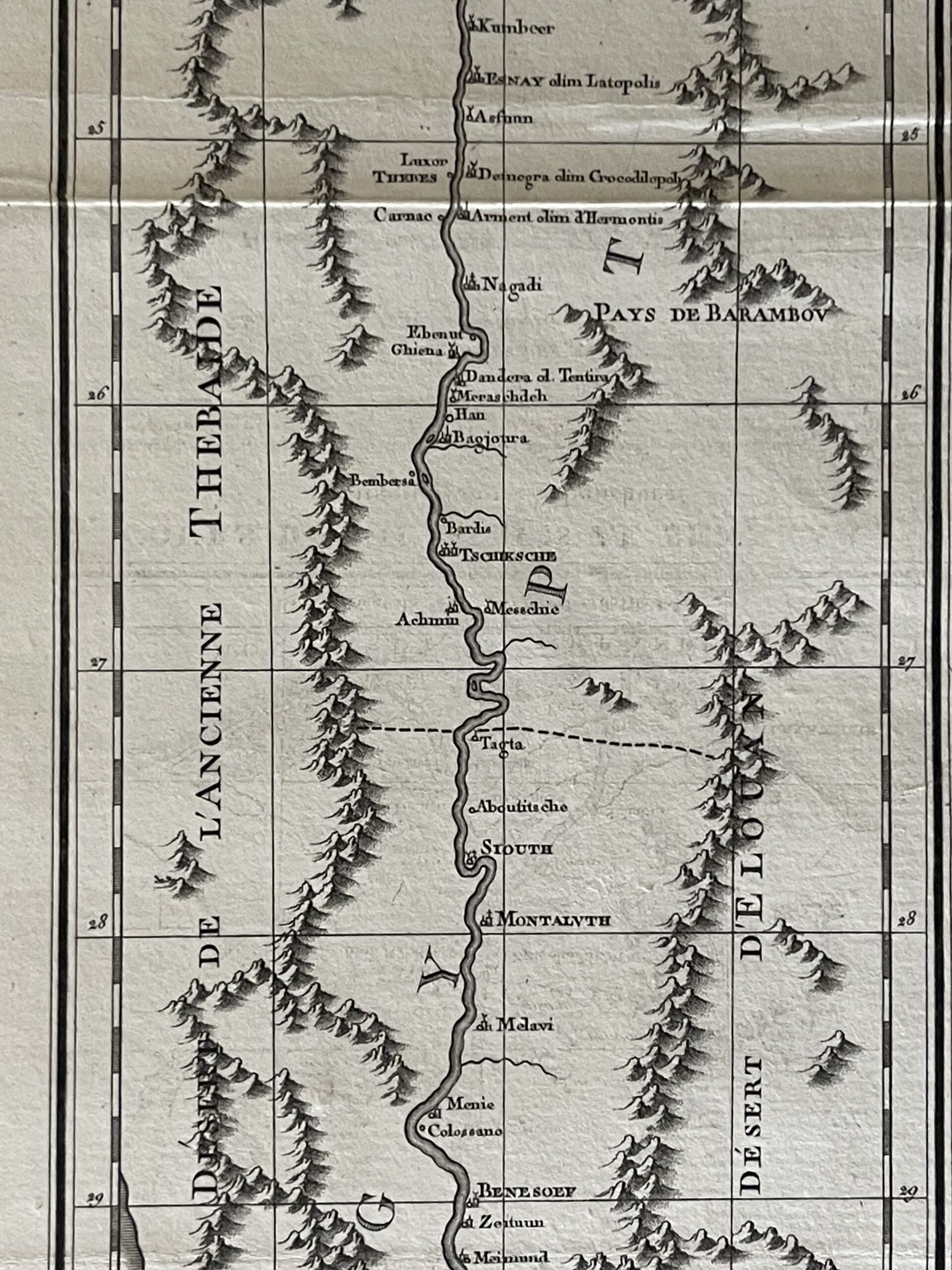
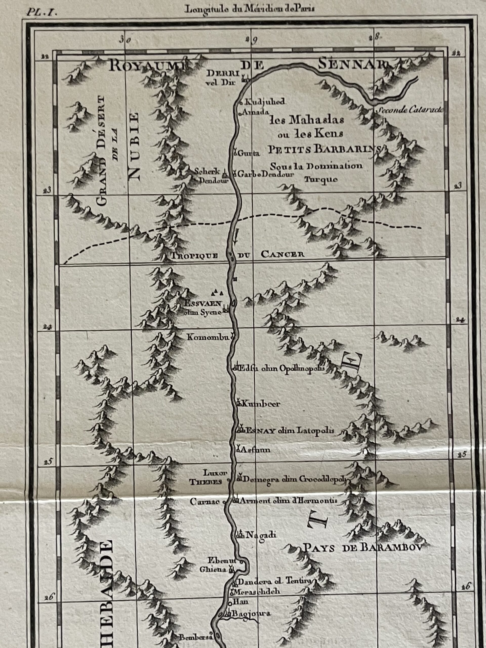
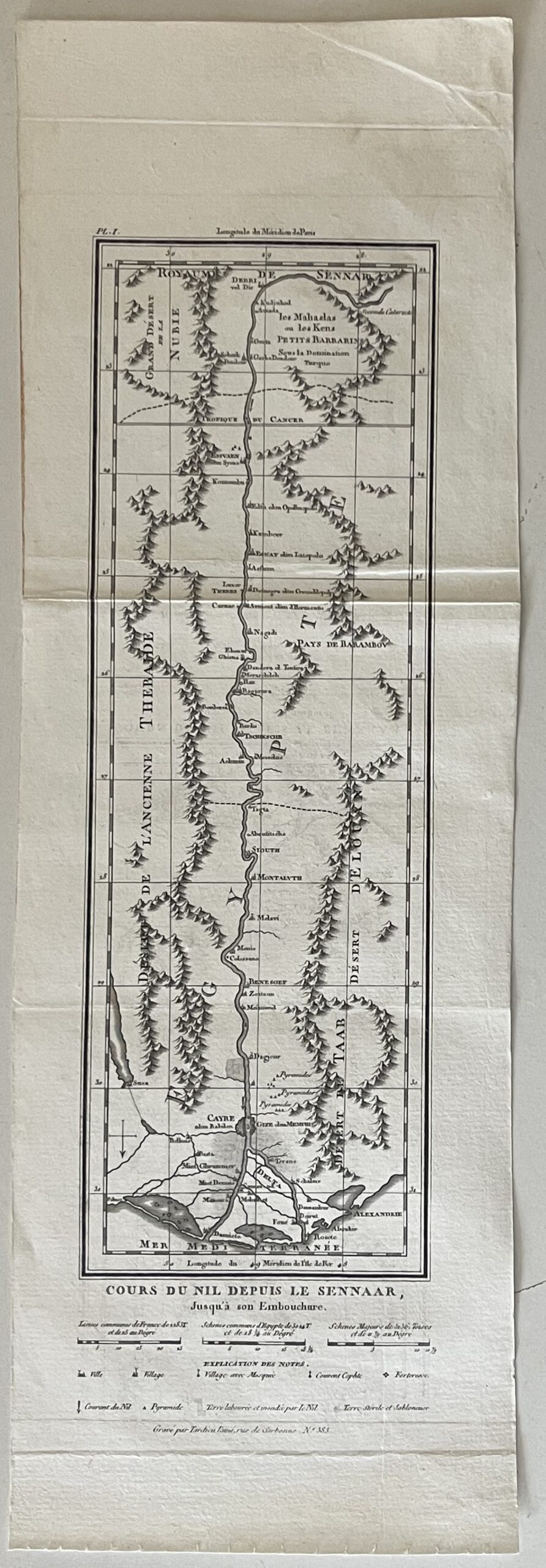
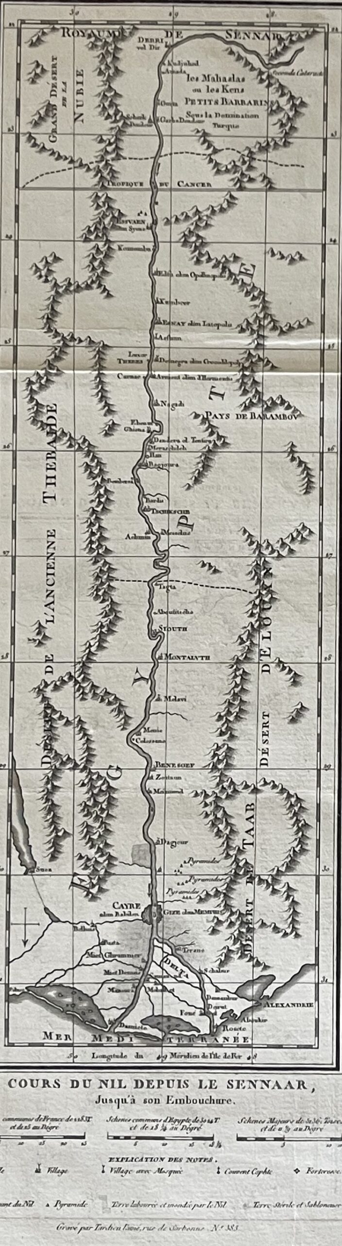
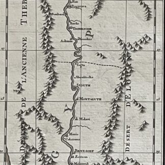
This Nile River map, published in 1817 after an eighteenth-century cartographic model, traces the river from the region identified as the Kingdom of Sennar to its Mediterranean outlets. Its original French title reads “Cours du Nil depuis le Sennaar, jusqu’à son Embouchure.”
The narrow vertical composition follows the Nile through a landscape of named settlements, mountain ranges and desert regions. An especially interesting feature is its orientation: south appears at the top, with the Mediterranean Sea at the bottom. Following the river down the sheet leads towards Cairo and the branching waterways of the delta.
Cairo, Alexandria, Rosetta, Damietta, Thebes and several pyramid locations appear among the geographical references. Historical place names and territorial descriptions preserve the vocabulary of the earlier map reproduced in this 1817 edition. These details make the sheet appealing to collectors interested in Egypt, Nubia and historical representations of the Nile.
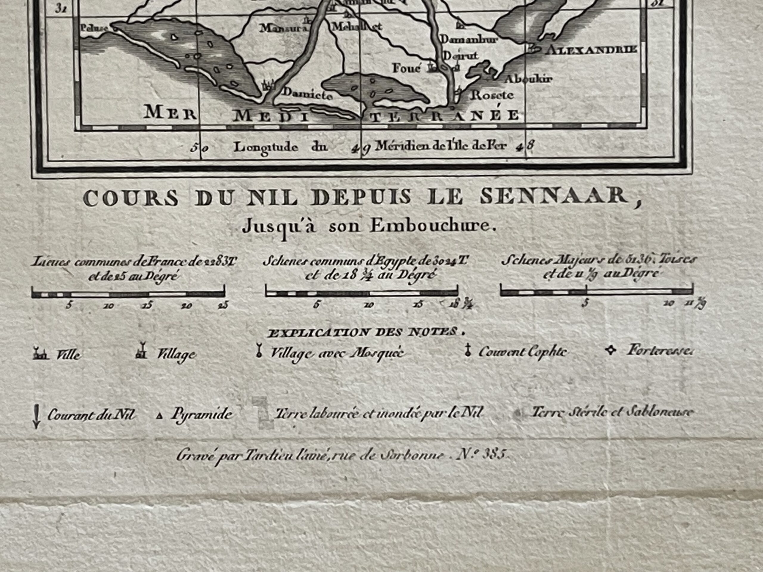
Below the map, several distance scales accompany an explanatory key. Its symbols identify towns, villages, mosques, Coptic monasteries, fortresses and pyramids. The legend also distinguishes cultivated land flooded by the Nile from barren and sandy terrain, highlighting the relationship between the river and the surrounding landscape.
The sheet bears the engraved credit “Gravé par Tardieu l’aîné” and the plate designation “Pl. I.” The black and white printing gives clarity to the fine lettering, river network and pictorial mountain relief. Its elongated proportions offer an attractive option for a narrow vertical frame.
Details
Publication year: 1817.
Cartographic model: eighteenth century.
Geographical coverage: Nile River, Egypt, Nubia and Sennar.
Engraver’s credit: Tardieu l’aîné.
Medium: engraved map on paper.
Colour: black and white.
Sheet dimensions: 38.5 × 12.7 cm.
Map dimensions, excluding the legend: 26 × 8.7 cm.
Format: folding sheet, supplied unframed.

Avis
Il n’y a pas encore d’avis.